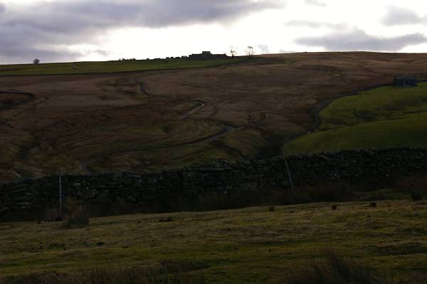
The Tebay Gill Skyline.
Start. Tebay.
Route. Tebay - Tebay Gill Farm - White Combs - Powson Knott - Blease Fell - Hare Shaw - Knott - Weather Hill - Waskew Head - Tebay.
Notes. This morning saw me in Tebay, there's not a lot to say about Tebay, since the railway junction closed, the river, railway and roads all seem to pass it by in a never ending hurry to go elsewhere, it seems to suffer from a mild case of neglect, in a desperate need for a little tender loving care.
I parked near the old School House opposite the recycle bins, from here a tarmac lane leads south over a cattle grid into the hills, I follow the lane signed Tebay Gill, after passing Tebay Gill Farm the path swung left heading to the gill, my route was straight up and over the grassy slopes of White Combs and Powson Knott, on excellent green paths I soon found myself on the summit of Blease Fell. To the north east over the bog and peat hags of Tebaygill Head stood Hare Shaw, twenty minutes bog hopping saw me climbing to the summit before the descent over Tebay Fell and Knott to reach Weather Hill. My descent from Weather Hill took me north to the sad remains of Waskew Head Farm before following the farm lane down the fell back to Tebay.
I may have been a little unkind to Tebay, the hills that shadow it certainly warrant more exploration, Tebay will certainly see me again.

Looking to the sad remains of Waskew Head, the almost derelict farmstead marks the start of my descent back into the Lune Valley.
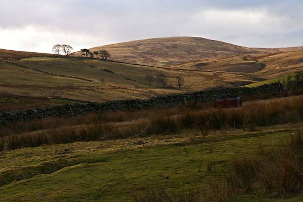
Heading past Tebay Gill Farm with views to Hare Shaw, my route crosses the summit.
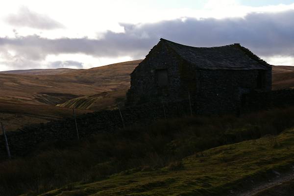
Passing under the slopes of Roger Howe looking to the deep ravine of Tebay Gill.
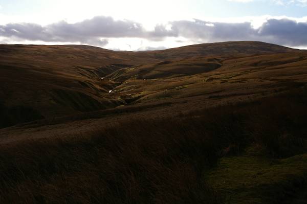
The scene over Tebay Gill, Hare Shaw and the wide grassy ridge leading to Knott.
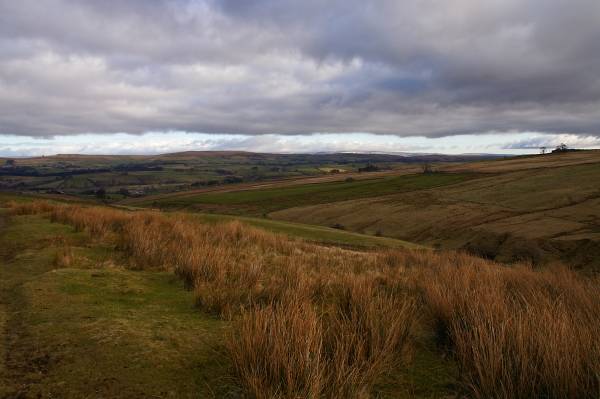
Views over the Lune Valley with Great Asby Scar gracing the northern skyline.
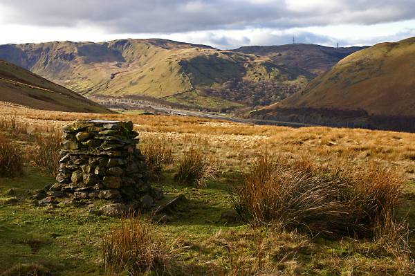
Birk Knott and Jeffrey's Mount guard the entrance to Borrowdale. The cairn has a rather large 225 painted on it's top, obviously to be viewed from the air, I haven't a clue for what reason.
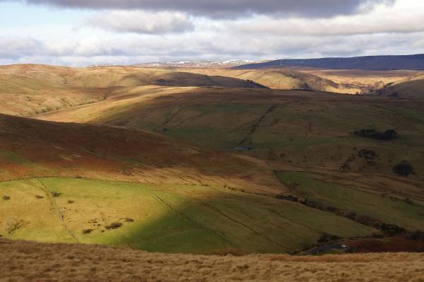
Dappled light across the rolling hills to the west of the Lune Gorge.
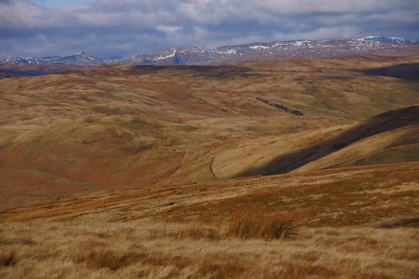
A stunning view to the Lake District skyline.
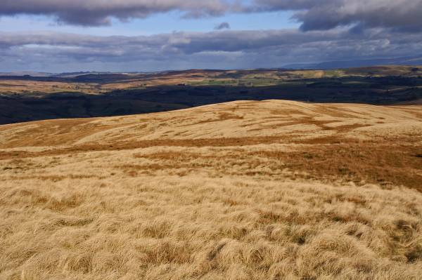
Nearing the summit of Blease Fell with wonderful views to the north.
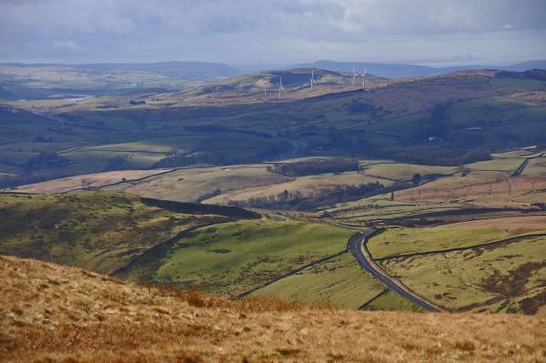
From the summit of Blease Fell the view to Lambrigg Fell and Wind Farm.
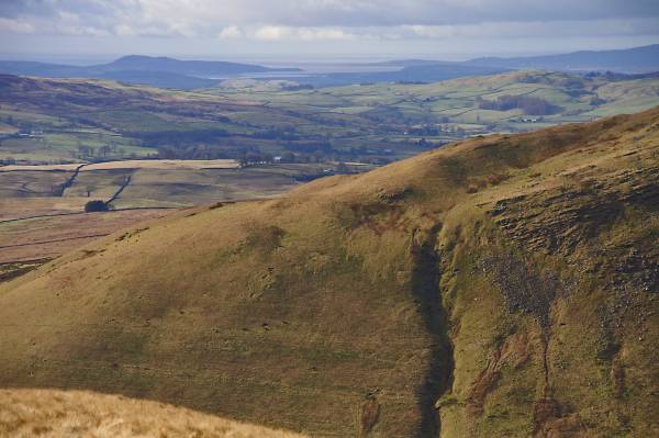
Views over the shoulder of Grayrigg Pike, the flatlands of the Kent Valley including Morecambe Bay and to the left on the horizon Arnside Knott.
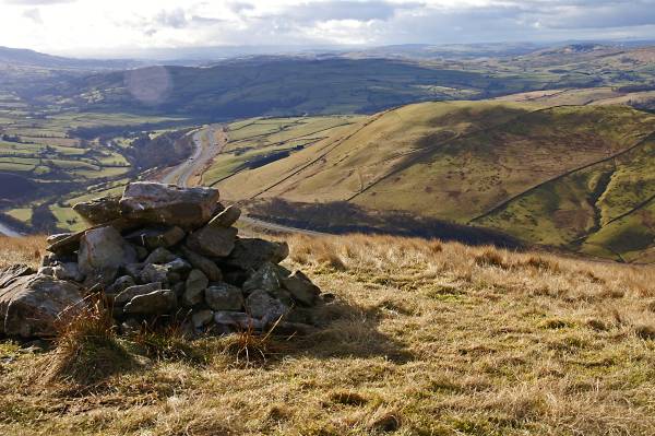
The Lune Valley as seen from the cairn just south of Blease Fell summit.
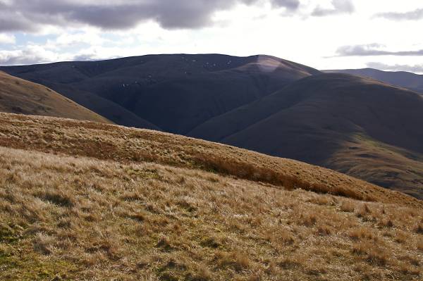
Breaks Head and Fell Head seen across the deep ravine known as Carlin Gill.
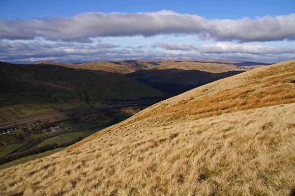
From Blease Fell views into the Lune Gorge.
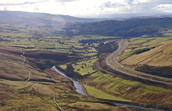
Here's a photo that turns the pages of the history books, from left to right, Fairmile Road built by the Romans after the invasion around 43 AD, to it's right the River Lune trade route used by Viking invaders and settlers around 925 AD, most of the place names in Cumbria date back to this period, the West Coast Main Railway Line driven through the Tebay Gorge between 1830-1870, and finally the northern section of the M6 Motorway built in the 1960s to early 70s, what next?
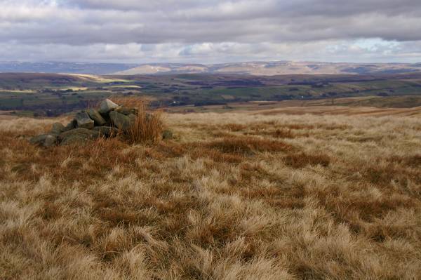
This small insignificant cairn marks the summit of Hare Shaw, insignificant cairn significant views, the North Pennine's stretch across the skyline.
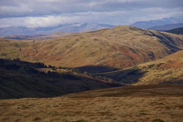
West to the Lakeland Fells seen from the descent of Hare Shaw.
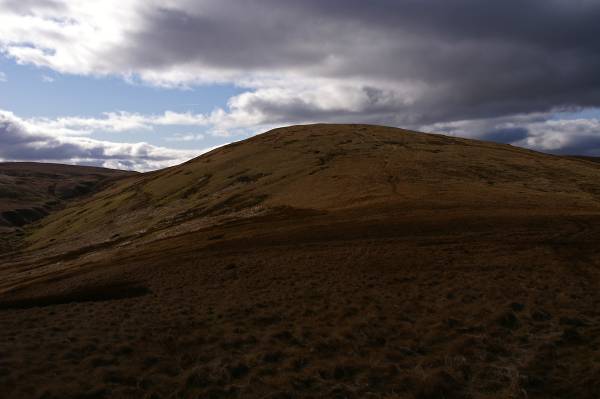
Looking back to Hare Shaw.
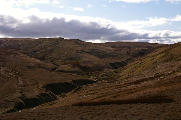
Views to the confluence of Ellergill Beck and Lantley Gill.
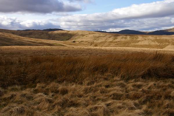
Striding out across the summit of Weather Hill with views across the valley of Tebay Gill, the lit ridge I ascended earlier this morning.